
Supervised Classification of Landsat 8 Imagery
Skills Demonstrated:
Remote sensing data preparation and enhancement (HPR and PCA).
Supervised classification and spectral signature analysis.
Raster data visualization and interpretation.
Use of ERDAS IMAGINE tools for image processing and classification accuracy evaluation.
Workflow & Techniques:
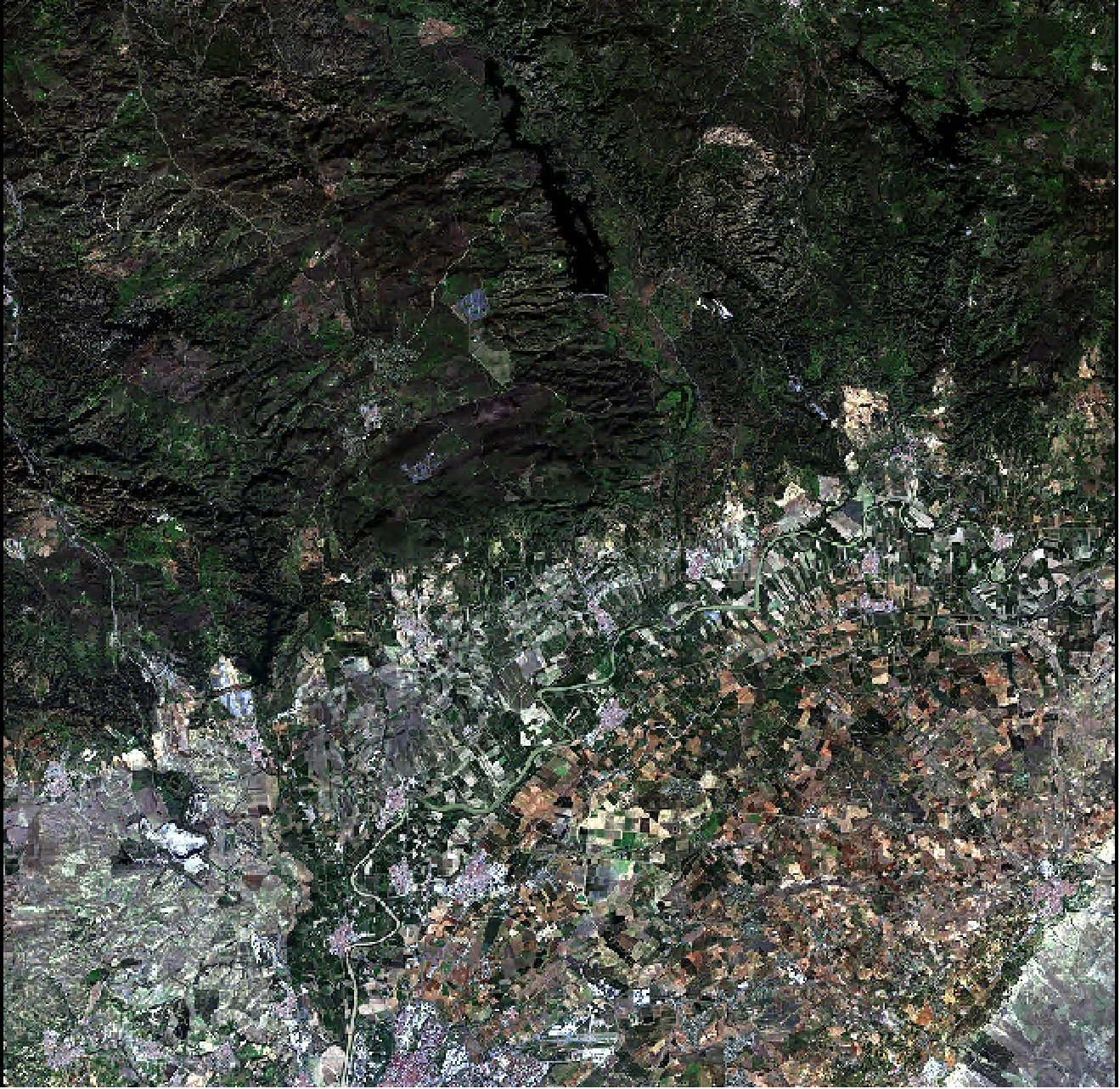
Data Import & Preprocessing: Imported Landsat 8 imagery into ERDAS IMAGINE, specified input and output formats, and performed layer stacking and subsetting to isolate relevant spectral bands.
Spatial Enhancement: Applied High Pass Resolution (HPR) fusion to improve spatial clarity and produce a sharper multispectral image.
Spectral Enhancement: Conducted a Principal Component Analysis (PCA) to enhance spectral separability and reduce data dimensionality.
Supervised Classification:
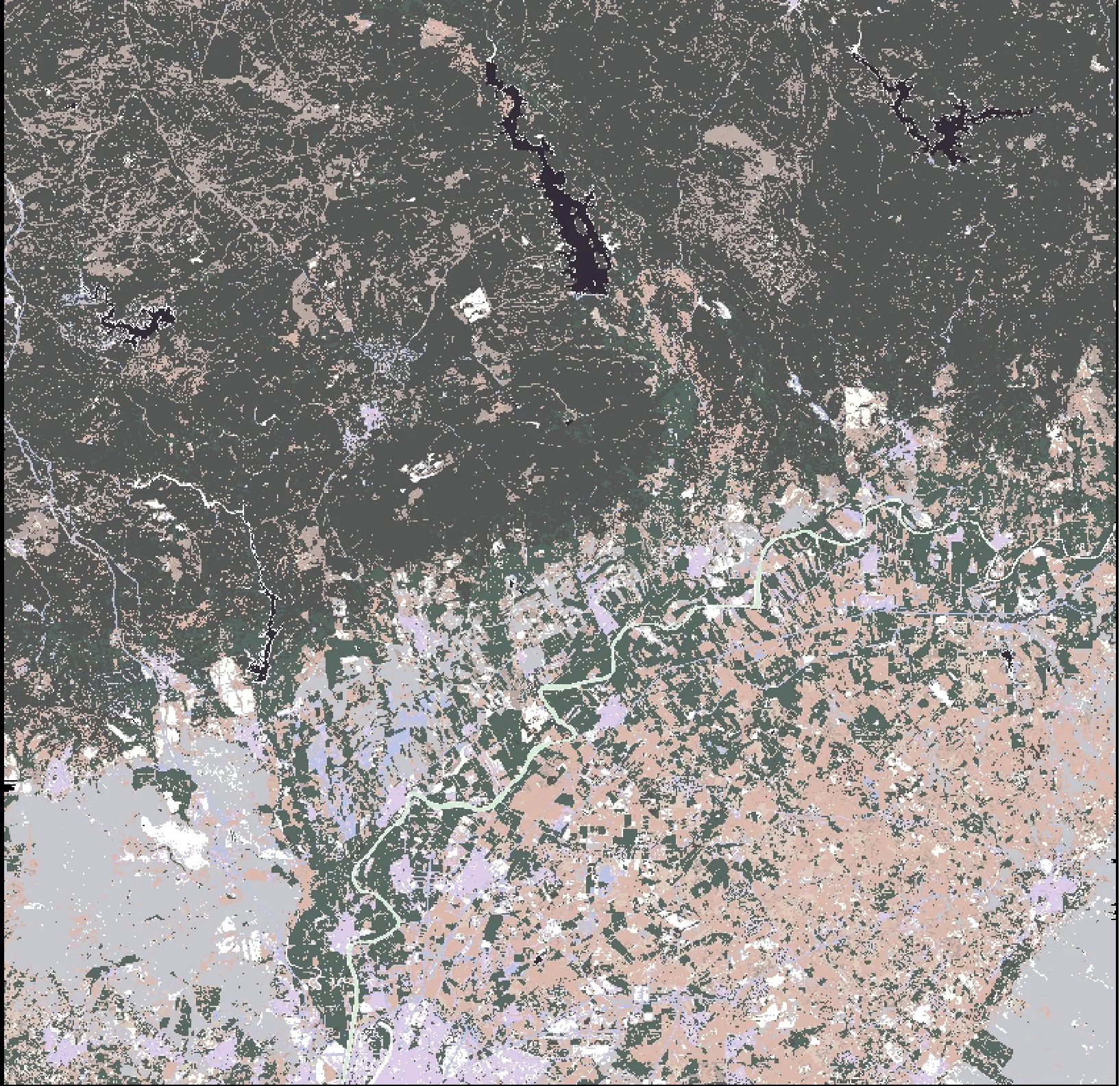
Defined training areas (AOIs) for multiple land cover classes, including urban, vegetation, agriculture, bare soil, water bodies, and high-mountain terrain.
Generated spectral signatures and applied a Maximum Likelihood Classifier for pixel-based classification.
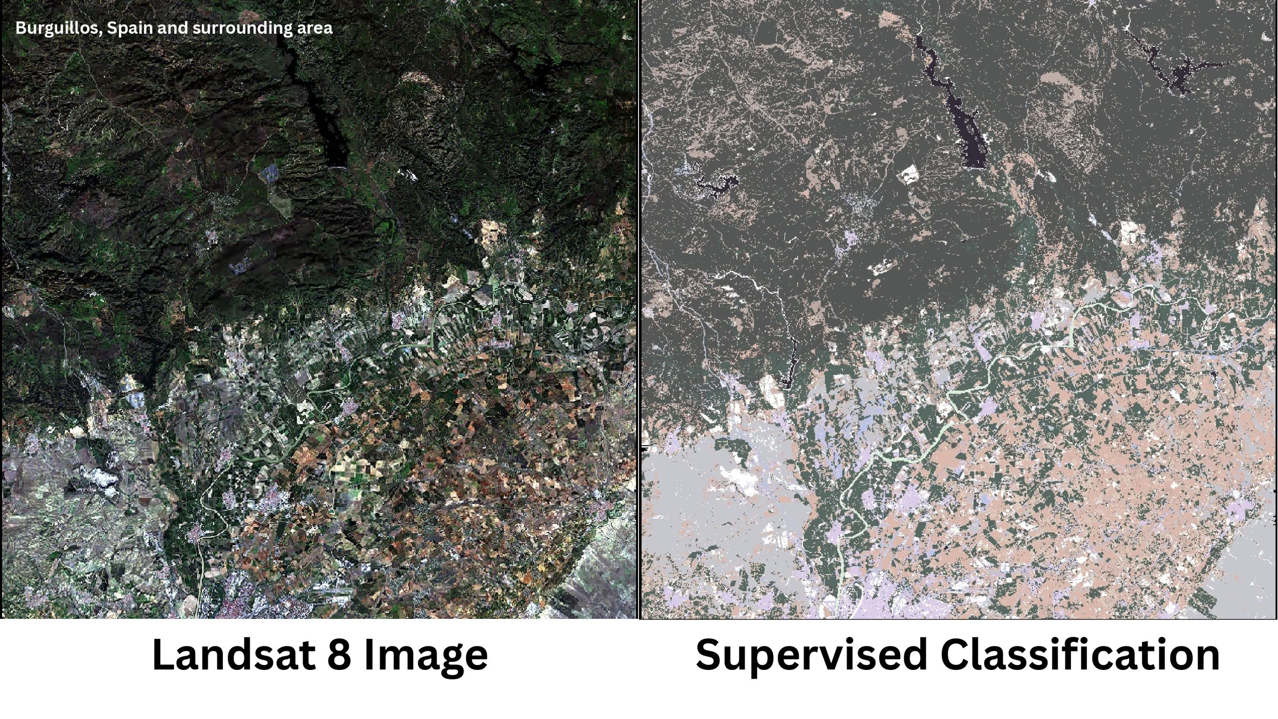
Compared results against unsupervised PCA output to assess accuracy and class differentiation.
Post-Processing: Refined classes and interpreted the resulting thematic map, highlighting improved land cover separation compared to PCA-based classification.